Quantitative Precipitation Forecast with Discussions
Quantitative Precipitation
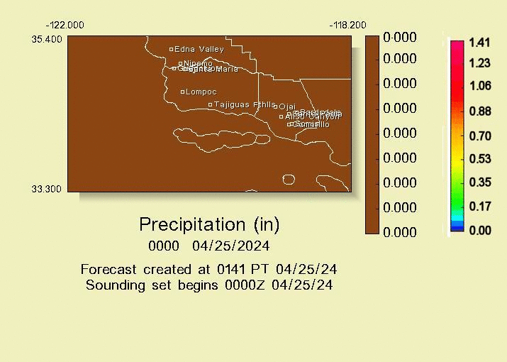
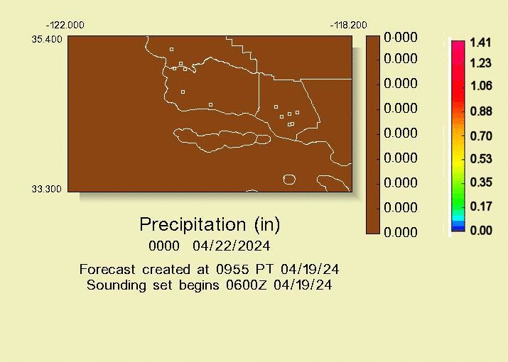
Forecasts for Southern California Watershed Protection/Flood Control Districts
Detailed Quantitative Precipitation Forecast for Ventura County
Quantitative Precipitation Forecast for Ventura County (GIS-file)
Quantitative Precipitation Forecast for the U.S. Army Corps of Engineers, Los Angeles District
EXTENDED MtnRT(R) MAPS Day5-Day9 FOR: SOUTHCENTRAL and SOUTHERN CALIFORNIA
Day5-Day9 Liquid Precipitation Forecast Maps for Ventura Co to San Diego C and Bordering Areas
Day5-Day9 GIS 1hrQPF for Ventura Co and Bordering Areas
Forecasts for U.S. Army Corps of Engineers, L.A. District and SOCAL County and City Agencies...Fox Weather's Fixed Schedule MtnRT(R)-based QPFs...
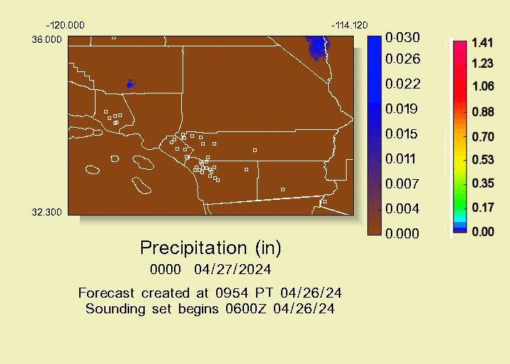
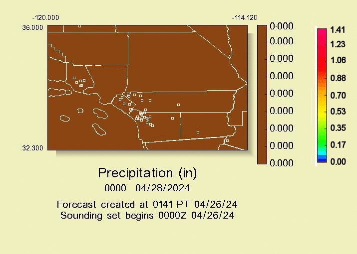
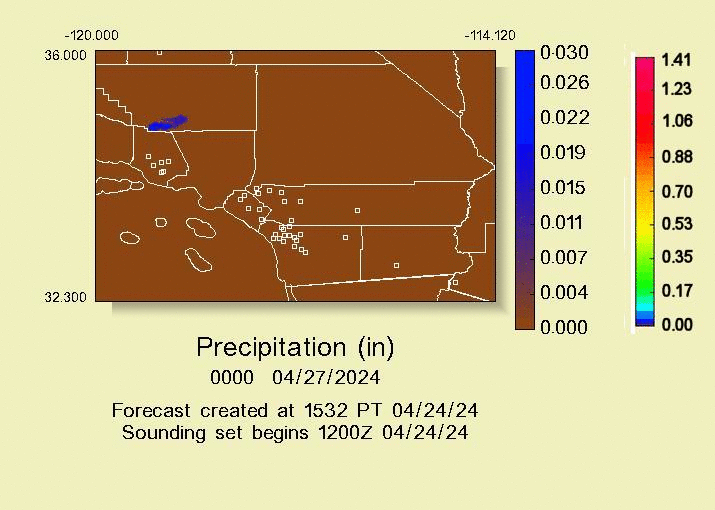
MtnRT-based QPF for Southern California - updated 3 times daily.
MtnRT-based Detailed Quantitative Precipitation Forecast and GIS-file for Ventura County - updated 3 times daily
MtnRT-based Detailed Quantitative Precipitation Forecast Ventura County - updated 3 times daily
MtnRT-based Detailed QPF (GIS-file) for Ventura County - updated 3 times daily
FoxQPFserve(tm) HCB(tm) Detailed QPF (GIS-file) for Ventura County - updated 3 times daily
FoxQPFserve(tm) HCB(tm) Detailed QPF Plain Language HCB for Ventura County - updated 3 times daily
FoxQPFserve(tm) HCC(tm) Detailed QPF (GIS-file) for Ventura County - updated 3 times daily
FoxQPFserve(tm) HCC(tm) Detailed QPF (Plain Language VCQPF HCC file) for Ventura County - updated 3 times daily
MtnRT-based QPFs for U.S. Army Corps of Engineers: Southern California (updated 3 times daily | Arizona (updated 3 times daily)
MtnRT-based QPF for S Sacramento Valley, N SierraNV/Feather, Napa/Sonoma Co's (3 updates/day)
MtnRT-based QPF for Central Calif, Central SierraNV, San Joaquin Vly, Monterey-Santa Cruz Co's
Complete Northern and Central California QPF - updated 3 times daily
FoxQPFserve(tm) Access Page - Please contact Fox Weather at info@foxweather2.com, or call 707 725-8013 for access.
...Special Graphical QPFs Issued for Storm Support...
FoxQPFserve(tm) Maps are at normal operational status.Animated QPFs FoxQPFserve(tm) Quantitative Precipitation Forecast Maps.
...Other Animated QPF Maps of 1-Hour Rain for SOCAL (Ventura Co - San Bernardino Co)...
... Day1 Day2 Day3 Day4 Day5 Day6
...Other Animated QPF Maps of 1-Hour Rain for SouthCentral Calif (San Luis Obispo-Los Angeles Co)...
... SC_Day1 SC_Day2 SC_Day3 SC_Day4 SC_Day5 SC_Day6
Graphical MtnRT(R) Quantitative Precipitation Forecast for S California 1
Graphical MtnRT(R) Quantitative Precipitation Forecast for S California 2
Graphical MtnRT(R) Quantitative Precipitation Forecast for South Bay Area, California 1
Other Fox Weather Automated QPFs (WRF-based)...
Quantitative Precipitation Forecast for Humboldt/Mendocino Counties
Quantitative Precipitation
Forecasts for Napa and Sonoma Counties Areas
Quantitative Precipitation
Forecasts for Santa Cruz and Monterey Counties Areas
Quantitative Precipitation
Forecasts for N and Cntrl San Joaquin Valley and Yosemite Areas
Quantitative Precipitation Forecasts for Southern California ... Automated
QPF (WRF-based, Detailed) for Ventura County - Automated
QPF (WRF-based, GIS-File) for Ventura County - Automated
Page Updated 11/16/2021
Schedule of Products
Local forecasts are generally in the system between 0800 and 0930 daily. The Satellite Rain Analysis is issued approximately 7am all year. Quantitative Precipitation Forecasts are generated for all of California. They are issued on a 3x daily schedule approximately 0400, 0845, 1500 throughout the year. The GFS-based QPFs are not currently being issued, and have beem superceded by the WRF-based QPFs.
The MtnRT forecasts are updated every 6 hours for all of California, and are on the server at 0330, 0830, 1500 Pacific Time.
The 30 day/Seasonal Outlook (text report) is issued weekly between noon Tuesday to noon Wednesday.
Back to the HOME page.